
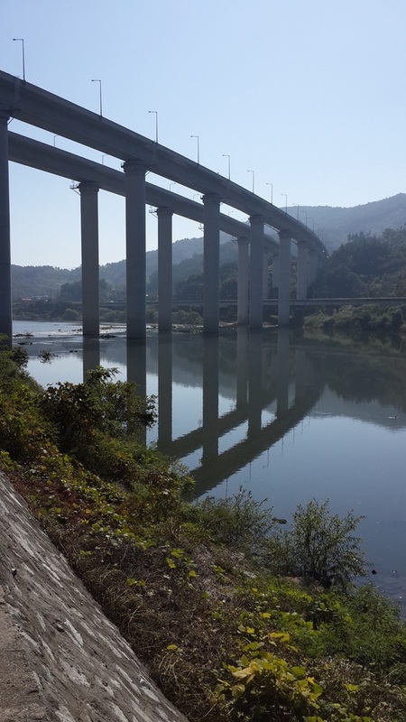
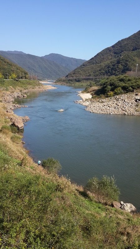
- Seomjingam bike path
- Jirisan National Park
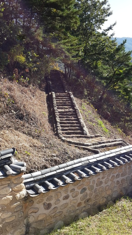
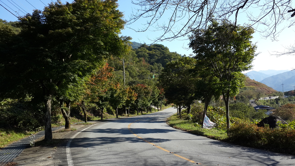
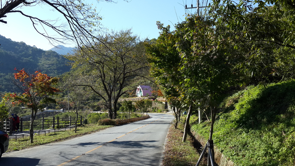
- Piagol Valley
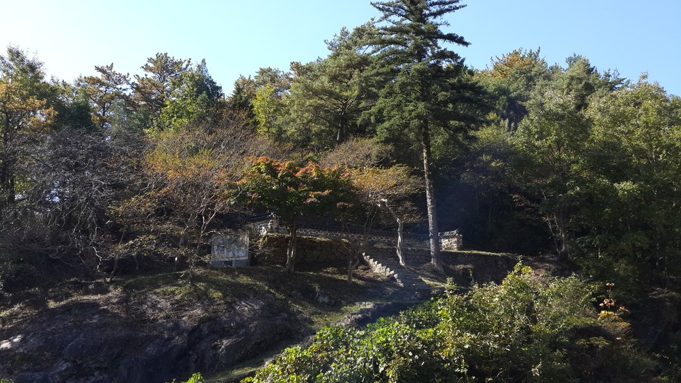
- 7 Seokjugwan Patriots
- Seokjugwan Fort
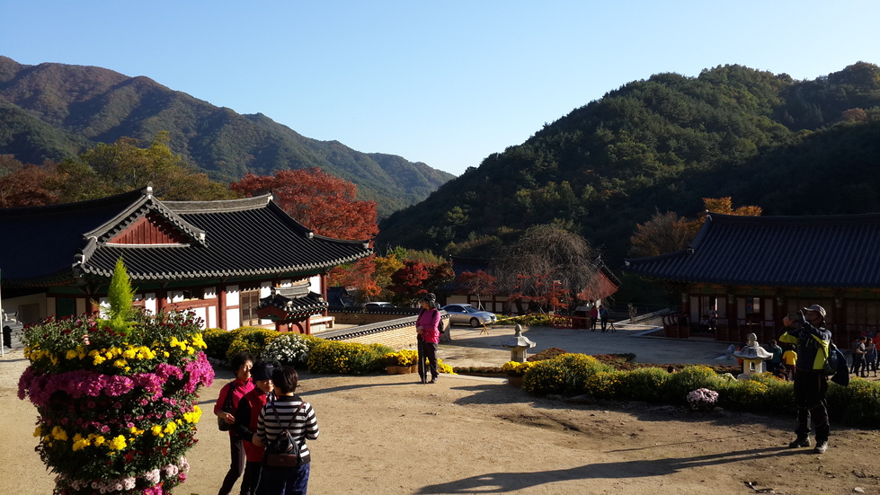
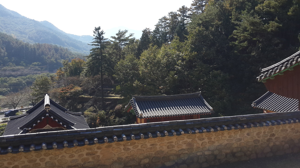
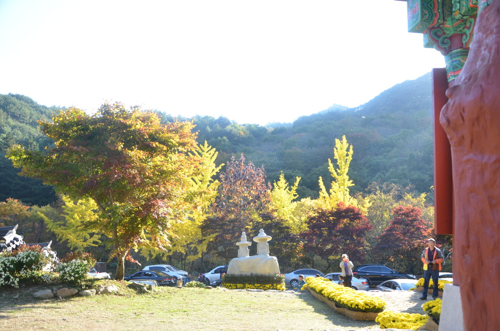
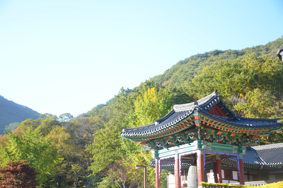
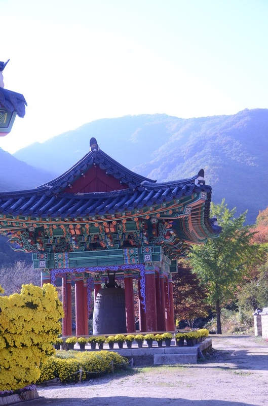
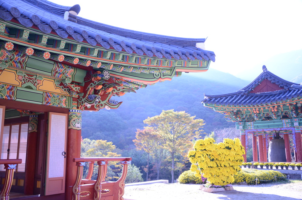
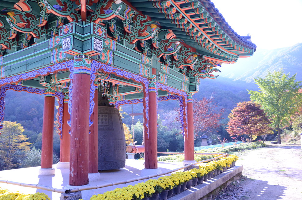
- Yeongoksa Temple
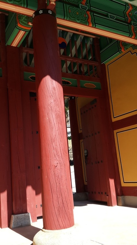
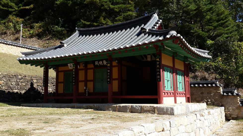
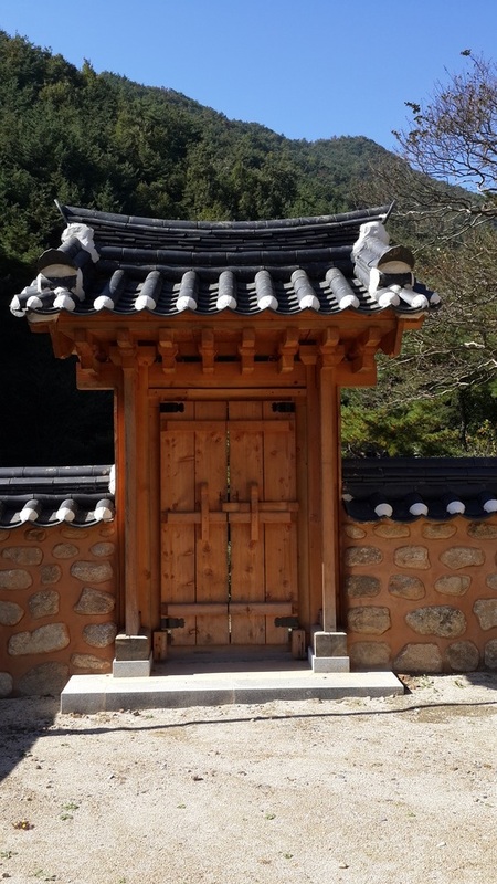
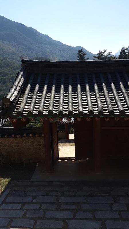
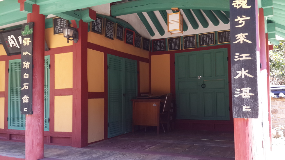
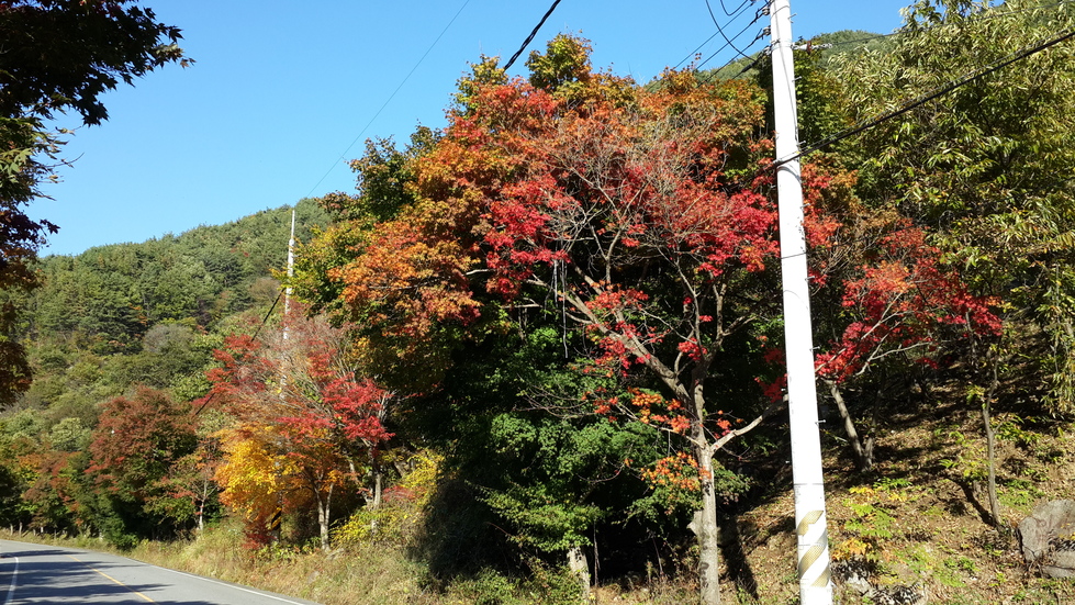
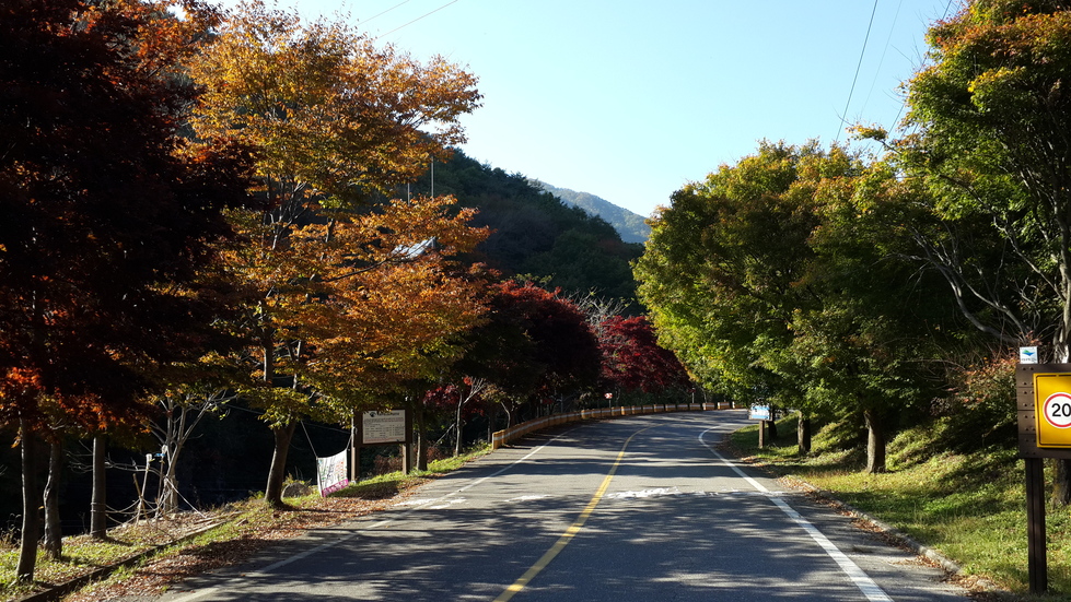
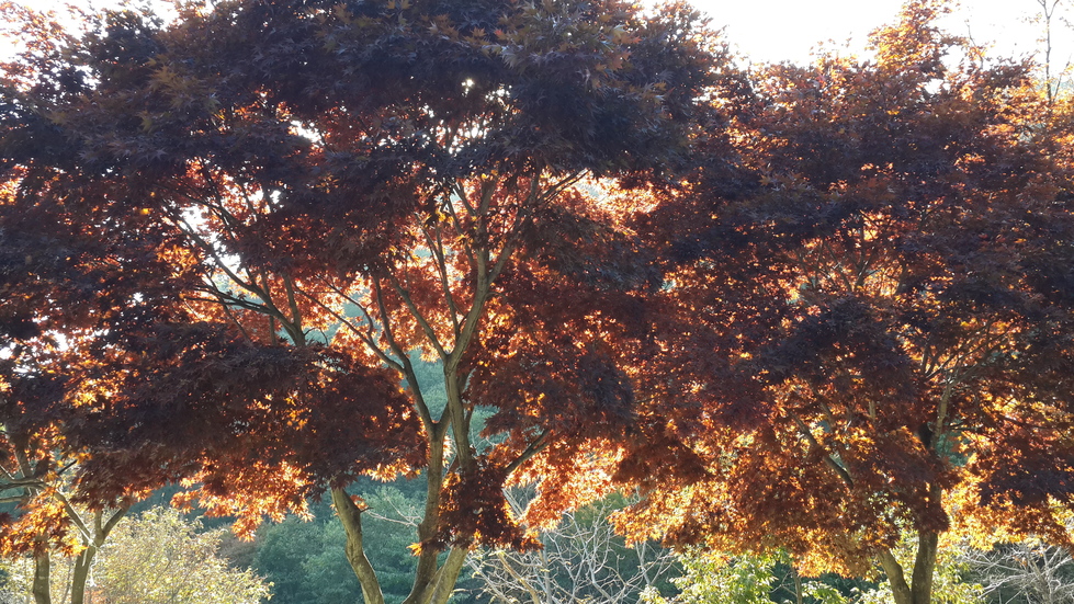
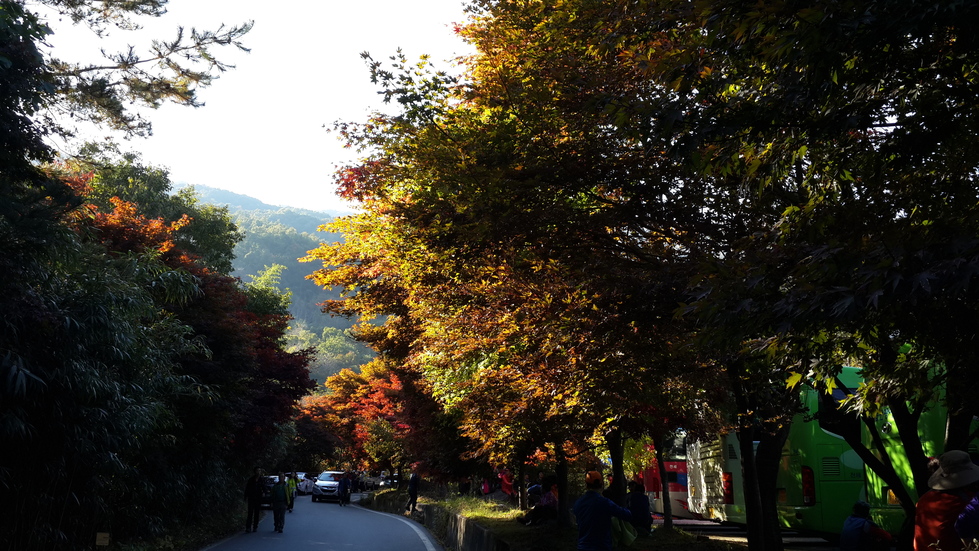
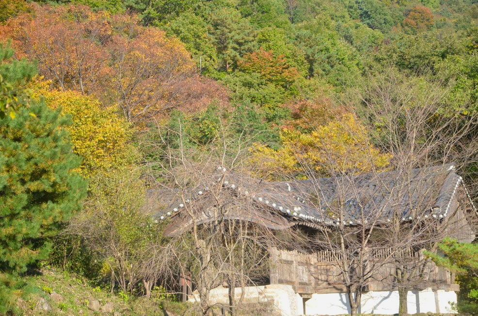
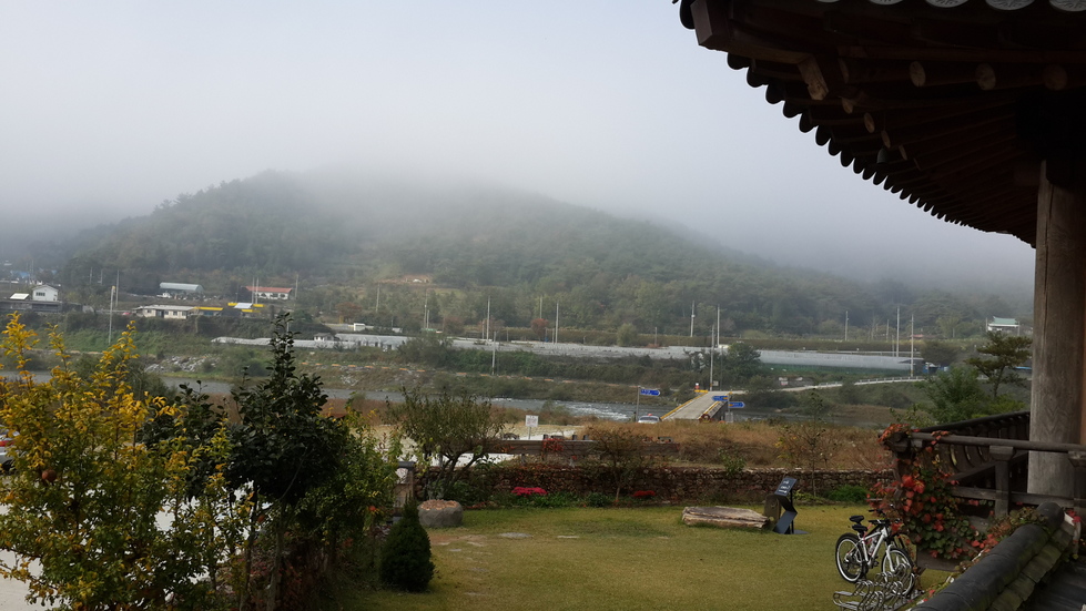
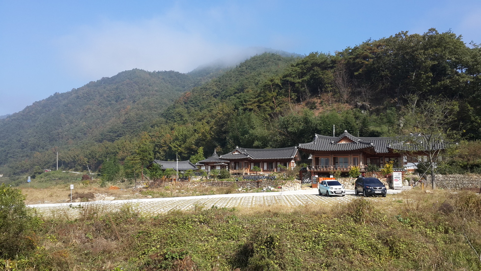
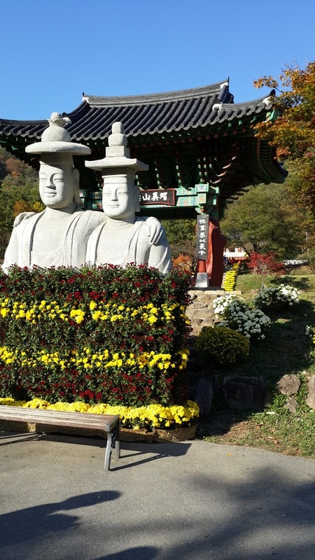
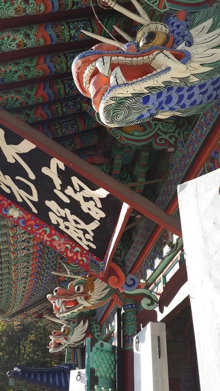
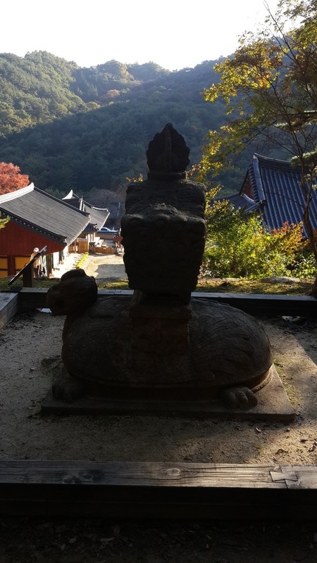
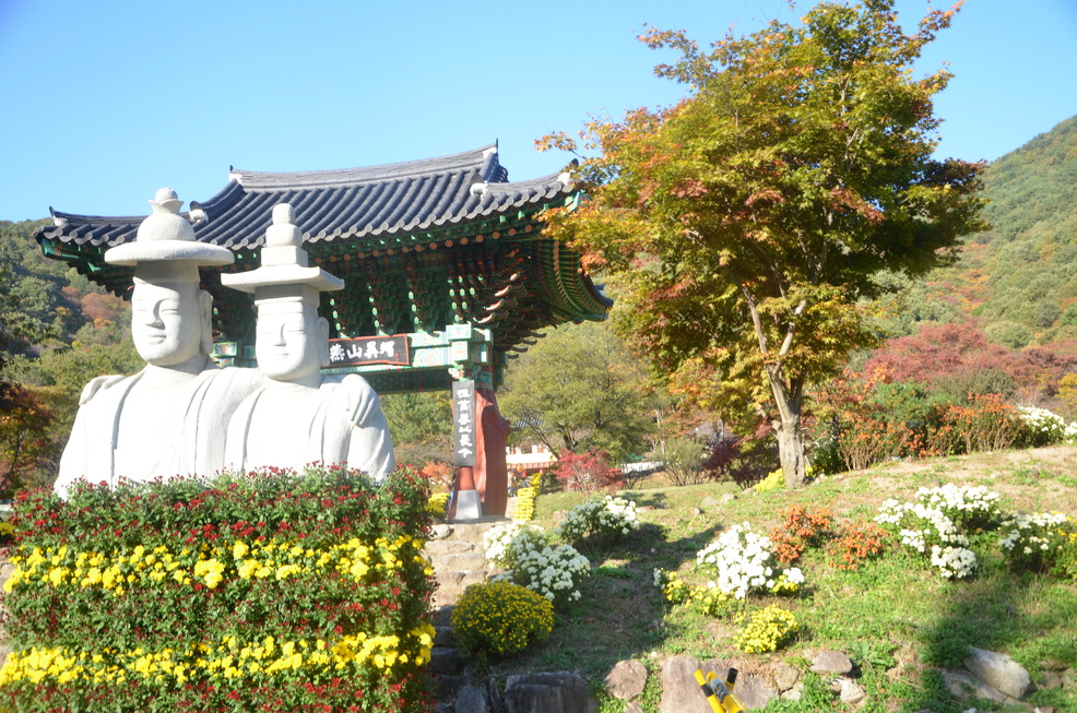
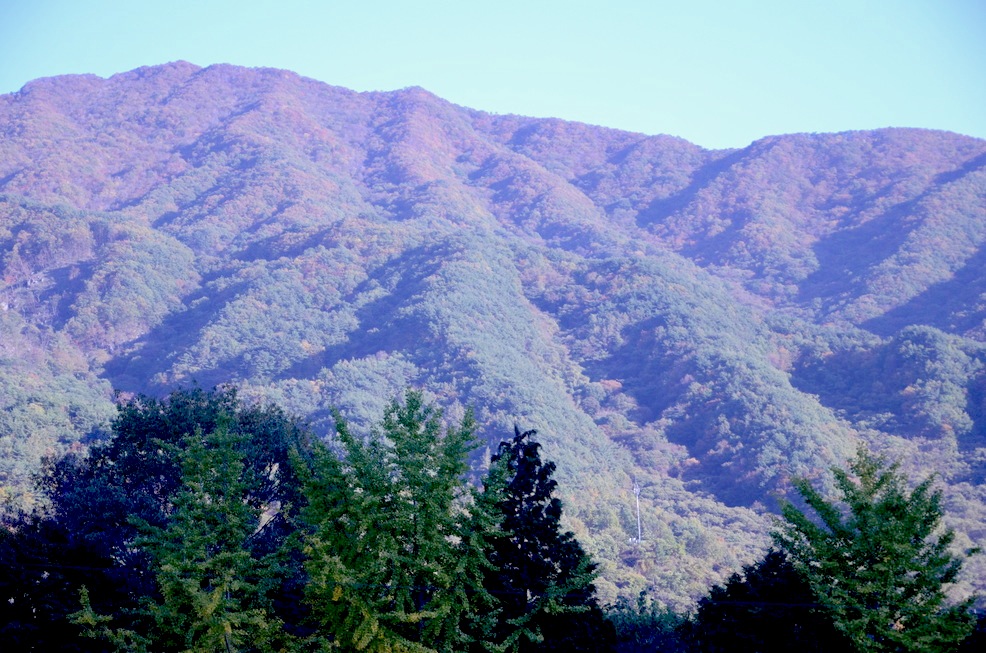
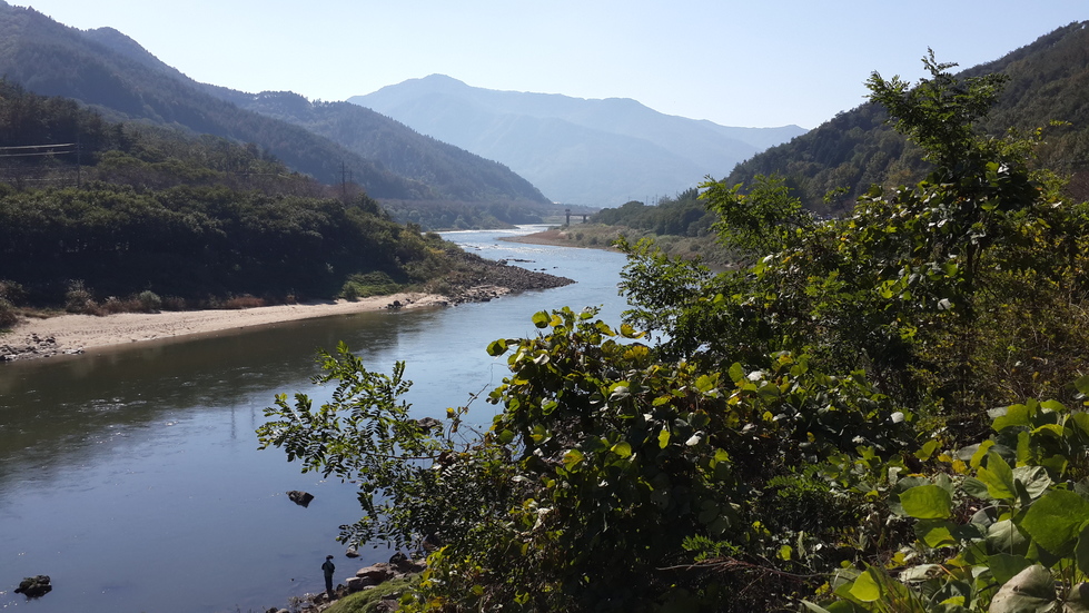
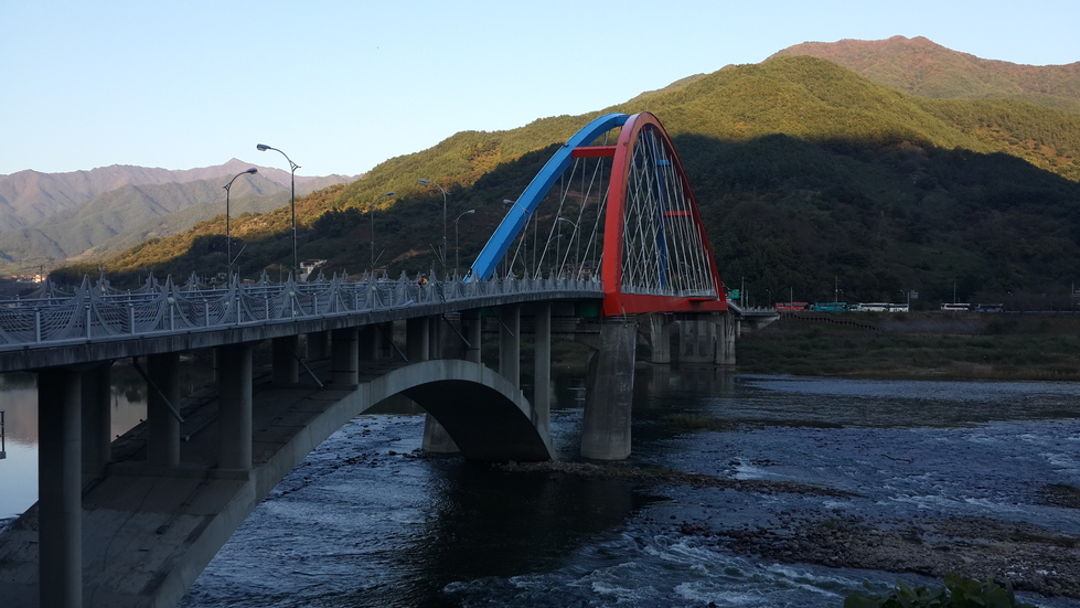
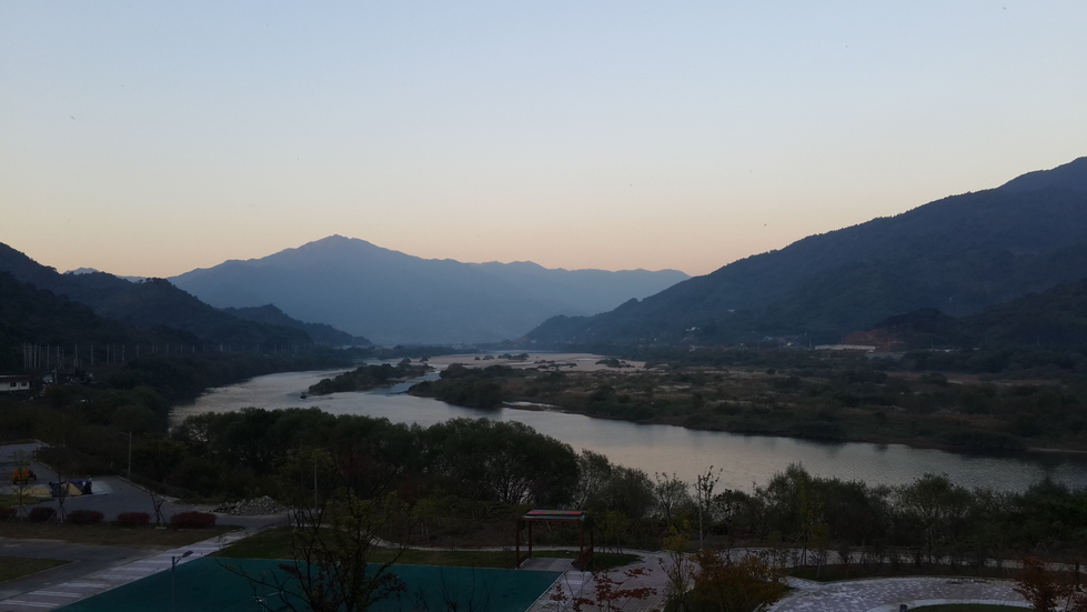
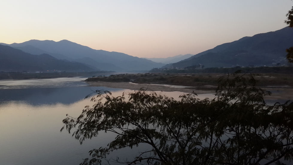
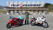
| Autumn Colours Guyre was the planned evening stop, but it was still only midday. I had reached the town early due to the late ride and change of plans yesterday. So I decided to continue. Guyre is at the Southwestern edge of Jirisan national park, It is famous for its autumn hues and has the highest peak in mainland South Korea. At this point I had taken a small detour to the other side of the river. Sellers were selling their <cough> fruits of their labour. No room to store a big bag of fruit (which would only have gone to waste anyway, I am not a great fruit eater) I was offered on separate occasions Honchi and Tamgam. No idea what they would be called in English. One was orange and gooey with long thin pips/stones and the other was hard like an apple. Perhaps it was a Korean apple... One of the routes up to the hiking trails of Jirisan is Piagol Valley. I braved the climb on the bike, saw some lovely colours along the road. For the best views however, you have to continue on foot for 3 hours to the first shelter. It was however too late to start walking and too early to quit riding. What to do? Unwilling to leave my bike unattended for two nights (the time needed to hike the trail to the main peak) and with issues back in France that involve lawyers and non-paying tenants, I decided to continue riding. I will hike Jirisan some other time. Boo. Seokjugwan Fort & Tomb of the Seven Seokjugwan Patriots The Quest for Coffee Despite the cold and damp, it was daylight of sorts when I woke. In reality it was incredibly foggy and all the little water droplets had bypassed the roof of the shelter and the flysheet of the tent. The whole tent, and the wooden floor was soaking. A warm coffee was the order of the day. Unfortunately the sparky piezo bit of the gas burner was insufficient to light the gas and so it was not to be. The shelter had plug points so at least my phone and charger were now nice and healthy. Bonus The ride out was cold. Three layers cold. 2 hours later it was almost possible to see the other side of the river. A coffee house appeared and so breakfast was finally had. And two coffees... ... during which the fog finally lifted to give a hot autumn day. Splendid. Piagol Valley click to enlarge North of Piagol valley, off the cycling trail towards Jirisan lies another set of historical artifacts. Not temples this time. Seokjugwan Fort is a stronghold that has been used imany times to fend of the many Japanese invasions. Doesn't really look like a fort... but it is still cool! Right next to this are the tombs of the seven patriots, 6 who died defending the dynasty against invading Japanese (the seventh dying later) Judging by the mounds, they must have been very small men! More information about the Guyre Jirisan area can be found at http://en.gurye.go.kr/en/Tourism Yeongoksa Temple. Possibly... "I see you made it then!" : A Korean lady - in English- informed me she saw me cycling up the mountain earlier. 250m height gain, Such an effort was worth it for 2 reasons. The first was the temple which may (or may not) be Yeongoksa 연곡사 The images I took bear no resemblance to the pictures on the internet! The sun was setting and would soon disappear behind the local mountain ridge and the area was stunning. The second benefit would be the cycle back down; What took me an hour to ride up only took 10 minutes back down. I resisted the urge to overtake traffic at 40 km/h click to enlarge Seomjingam bicycle path The rest of the journey was mostly dedicated bike trail interspersed with some (quiet) roads. It was already 4pm, with only two hours of light remaining, as I set off towards the south coast. Stamping my bike passport at Namdo bridge, I had another 40km to ride. That would take just under 3 hours. Or more if you bump into another cycling group, get offered local alcohol and chat with them in basic English (them) and even more basic Korean (me)! The final hours ride was done at night. The batteries in my light held up. I was really looking forward to finding a room in a cheap motel at the end of the Seomjingam path. This was not to be - the end point is in the middle of nowhere.at the Baldeo Waterfront Park. The Bike Trail office was closed, and there were loads of Koreans camping Korean style in the park. Korean Style Camping This involves Lots of Shouting, Loads of Open Fires More Or Less In Control, Large Cinema Setups with Huge Projectors At Maximum Volume, Heaters for the Tents, Floodlights and Sinks With Disconnected Taps. With a complete lack of Korean flair, my hammock was clearly invisible to everyone. Hoping that kids running around with burning sticks would not run blindly into my tent, I lay down and went to sleep. It was only 9pm! click to enlarge | click to enlarge 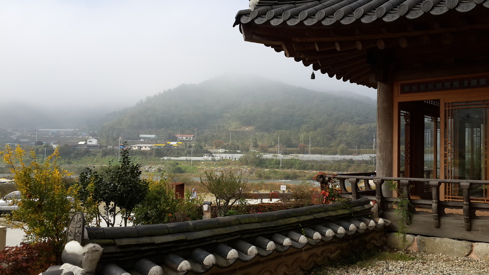
2 coffees, waiting for the fog to lift...
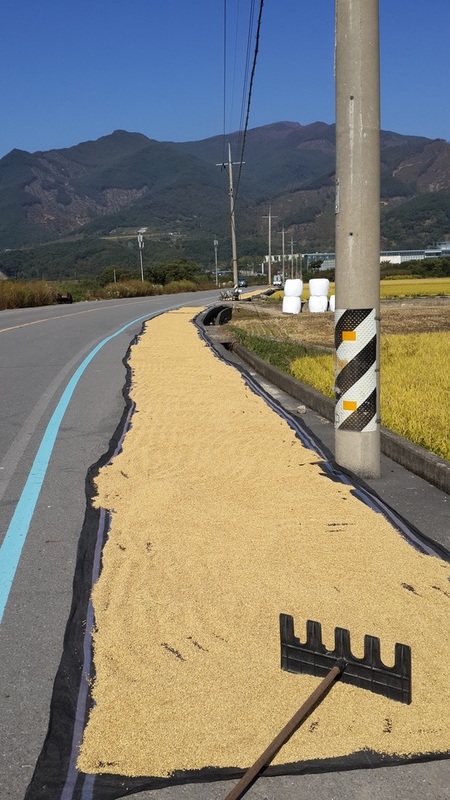
grains raked and drying...
Tombs of the 7 Seokjugwan Patriots

Door at Seokjugwan Fort
Temple at the entrance to Piagol Valley
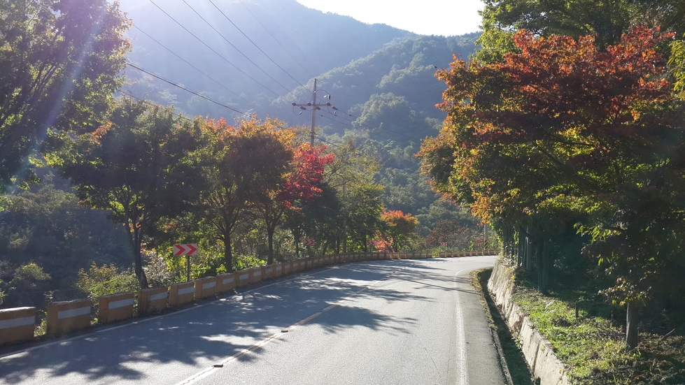
Autumn colours
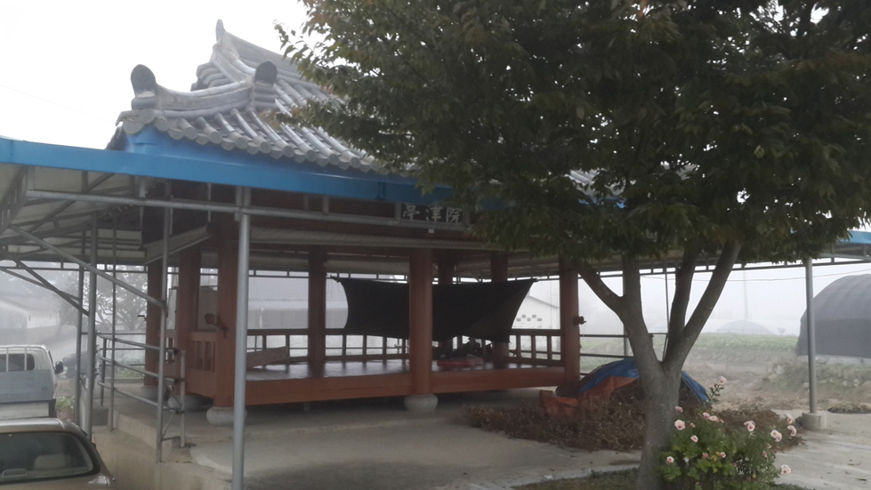
Free electricity. Doubly free condensation
The Trip So Far A pleasant, no stress ride - apart from the 11km climb up the flank of Jirisan. Disappointed not to have done the 2 day trek that I had originally planned, but there will be other occasions. I managed to get mapping GPS data working again - without downloading maps as my data coverage is still knackered. The map below therefore is the actual route covered according to MapMyRide (from Jirisan onwards) Todays distance : 109km Total : 438km / 273 miles 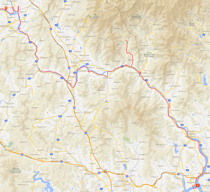
The days ride; Piagol valley is at the top of the road halfway along todays route.
|


 RSS Feed
